Explore TrekReady
Big objectives.
One trail at a time.
Find a mountain worth working toward. Explore its demands, then find trails where you can put in the miles and build the climbing legs.
01 / The goal
Choose your objective
Reviewed mountain demands, with the route assumptions and sources behind them. Conditions vary by year, route, and operator.
How difficulty is rated
Our five levels combine physical effort, technical skills, altitude and overall commitment for the reviewed objective or route. Different challenges can lead to the same level; the numbers are broad bands, not equal steps in effort.
- 1 · Moderate
An introductory mountain objective or substantial hike. Expect sustained walking and climbing, sometimes on snow, without the systems or commitment of higher levels.
- 2 · Demanding
Long mountain days or multi-day treks with substantial climbing, carried loads, altitude or introductory alpine terrain. The combination requires deliberate preparation.
- 3 · Challenging
A demanding alpine climb, high-altitude objective or sustained trek. Glacier systems, exposed terrain, repeated long days or extended time at altitude add to the overall challenge.
- 4 · Very challenging
Sustained exposed technical climbing or a major expedition commitment. Technical complexity, heavy carries, altitude, remoteness or prolonged duration can drive this level.
- 5 · Extreme
An 8,000-meter expedition or another explicitly reviewed objective with comparable overall commitment. Exceptional altitude, expedition systems and sustained demands define this band.
Check the route details for the demands behind its level. Conditions and itinerary choices can change the challenge. This rates the objective, not your personal preparation.
Local training hikes have not been assigned an overall level. “Not rated” means no reviewed rating; it does not mean easy. They appear last when sorting by difficulty.
45 objectives
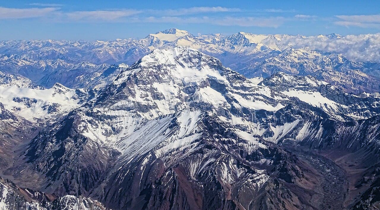 Bjørn Christian Tørrissen · CC BY-SA 4.03/5Overall difficultyChallenging
Central Andes, Mendoza, Argentina
Aconcagua ↗
Normal Route via Horcones and Plaza de Mulas
- Distance
- ≈ 40.4 mi; see the route preview for measurement notes
- Ascent
- ≈ 13,780 ft; see the route preview for measurement notes
- Descent
- ≈ 13,780 ft; see the route preview for measurement notes
- Time
- ≈ 15–17 days; see the route preview for measurement notes
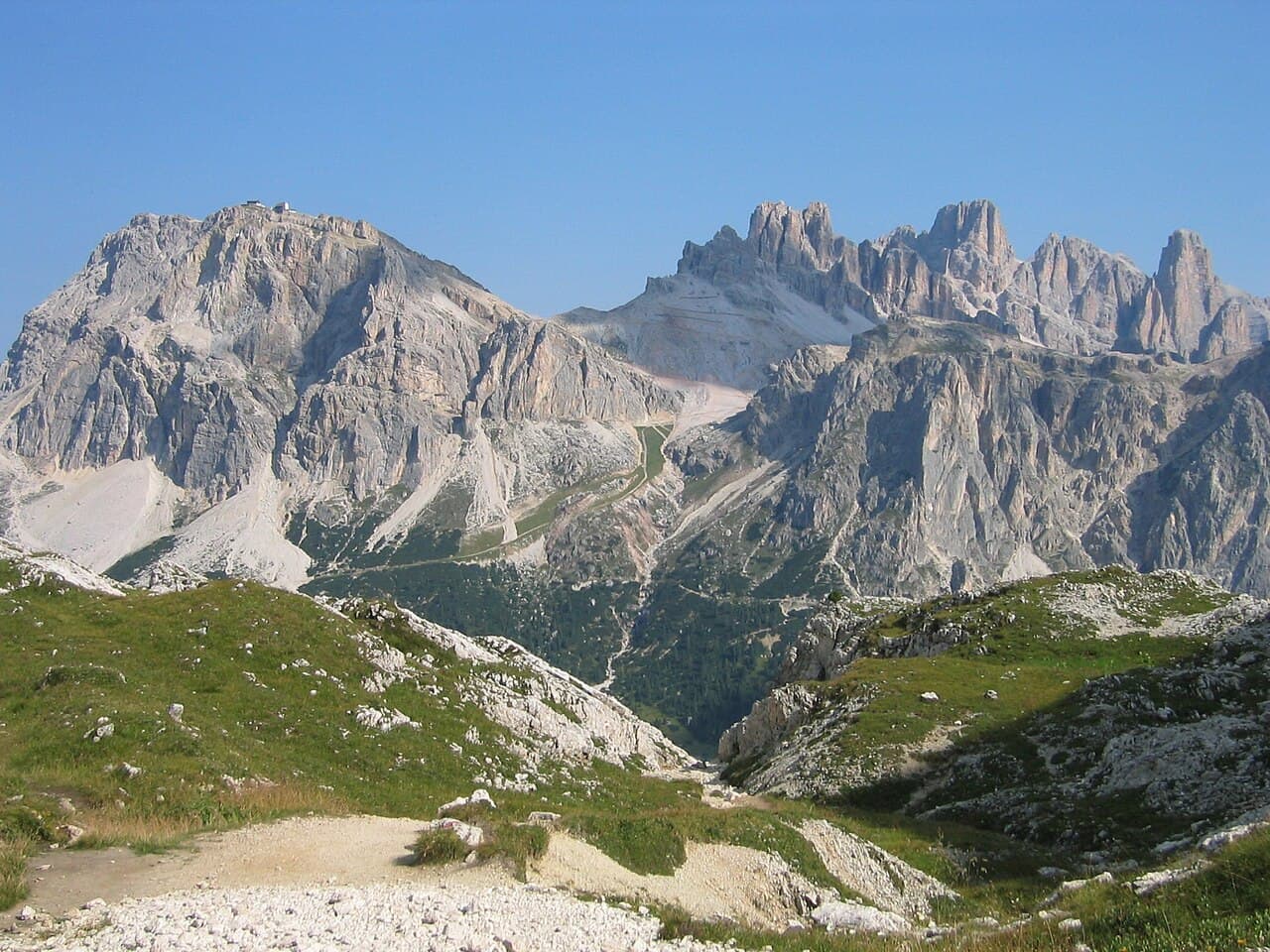 Clemens Stockner · Public domain2/5Overall difficultyDemanding
Dolomites, Italy
Alta Via 1 (Dolomites) ↗
Alta Via 1 · walking bypass and Bianchet exit
- Distance
- Not available; see the route preview for measurement notes
- Ascent
- Not available; see the route preview for measurement notes
- Descent
- Not available; see the route preview for measurement notes
- Time
- Usually 11 days; see the route preview for measurement notes
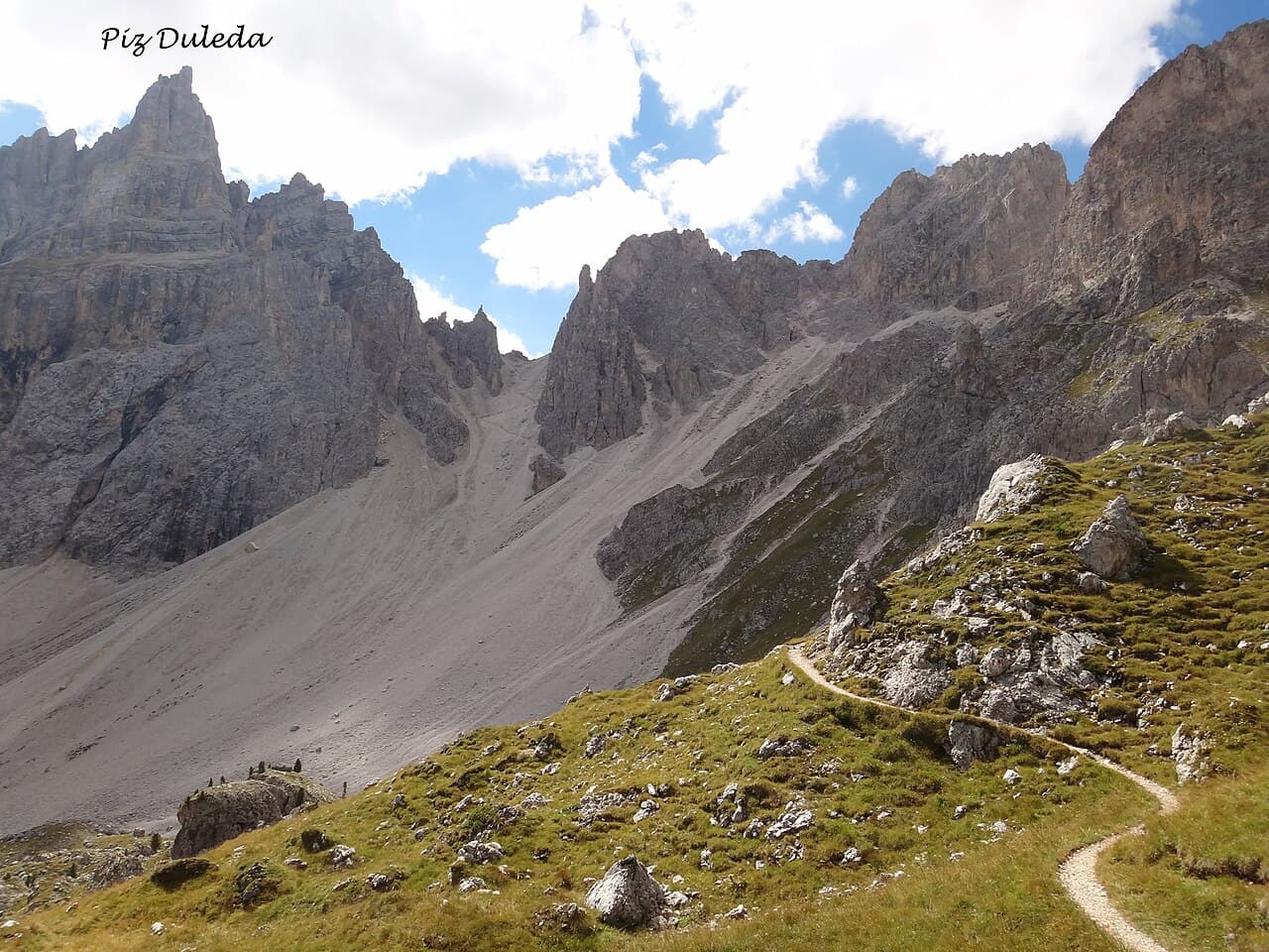 Hans Braam · CC BY 3.03/5Overall difficultyChallenging
Dolomites, Italy
Alta Via 2 (Dolomites) ↗
Alta Via 2 · non-glacier traverse to Croce d’Aune
- Distance
- ≈ 102.5 mi; see the route preview for measurement notes
- Ascent
- ≈ 37,730 ft; see the route preview for measurement notes
- Descent
- ≈ 36,089 ft; see the route preview for measurement notes
- Time
- Usually 13 days; see the route preview for measurement notes
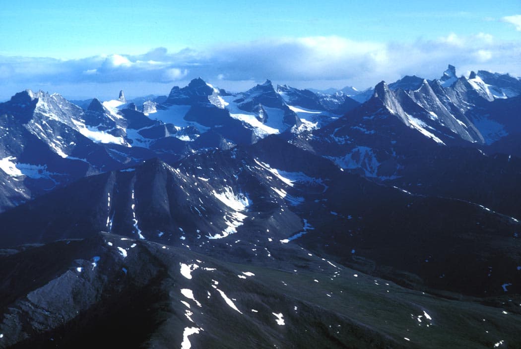 U.S. Fish and Wildlife Service · Public domain2/5Overall difficultyDemanding
Brooks Range, Gates of the Arctic, Alaska
Arrigetch Peaks backpacking ↗
Alatna approach and Arrigetch valleys return
- Distance
- ≈ 40 mi; see the route preview for measurement notes
- Ascent
- Not available; see the route preview for measurement notes
- Descent
- Not available; see the route preview for measurement notes
- Time
- Usually 8–10 days; see the route preview for measurement notes
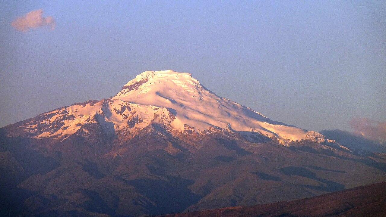 Fabricio Guzmán T. · Public domain3/5Overall difficultyChallenging
Andes, Ecuador
Cayambe ↗
Normal glacier route — Ruales Oleas Bergé return
- Distance
- ≈ 5 mi–5.6 mi; see the route preview for measurement notes
- Ascent
- ≈ 3,609 ft–3,937 ft; see the route preview for measurement notes
- Descent
- ≈ 3,609 ft–3,937 ft; see the route preview for measurement notes
- Time
- ≈ 10–13 hr on route; see the route preview for measurement notes
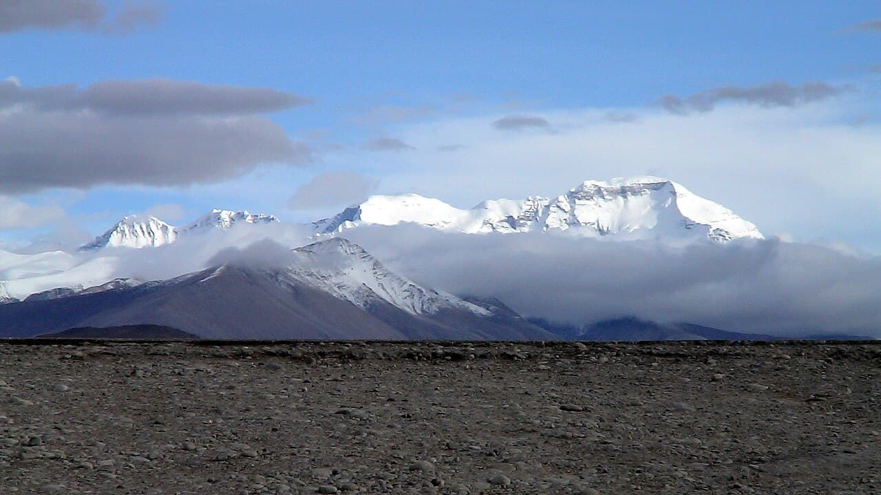 Robstar06 at German Wikipedia · Public domain5/5Overall difficultyExtreme
Himalaya, Tibet–Nepal border
Cho Oyu ↗
Tibet West Ridge summit and return
- Distance
- Not available; see the route preview for measurement notes
- Ascent
- Not available; see the route preview for measurement notes
- Descent
- Not available; see the route preview for measurement notes
- Time
- ≈ 21 days; see the route preview for measurement notes
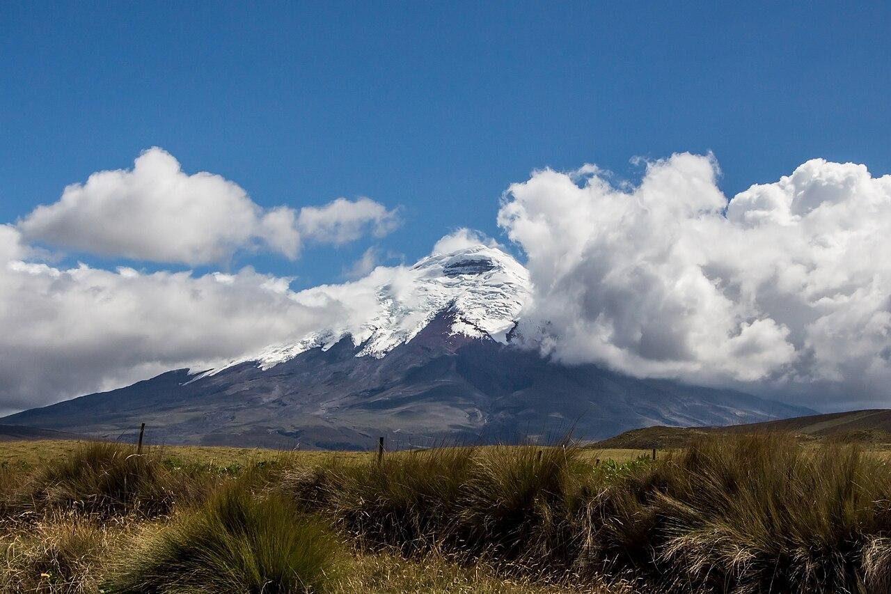 Bernard Gagnon · CC BY-SA 3.03/5Overall difficultyChallenging
Andes, Ecuador
Cotopaxi ↗
North normal route — José Ribas parking return
- Distance
- ≈ 4.3 mi–5.6 mi; see the route preview for measurement notes
- Ascent
- ≈ 4,265 ft–4,593 ft; see the route preview for measurement notes
- Descent
- ≈ 4,265 ft–4,593 ft; see the route preview for measurement notes
- Time
- Usually 2 days; see the route preview for measurement notes
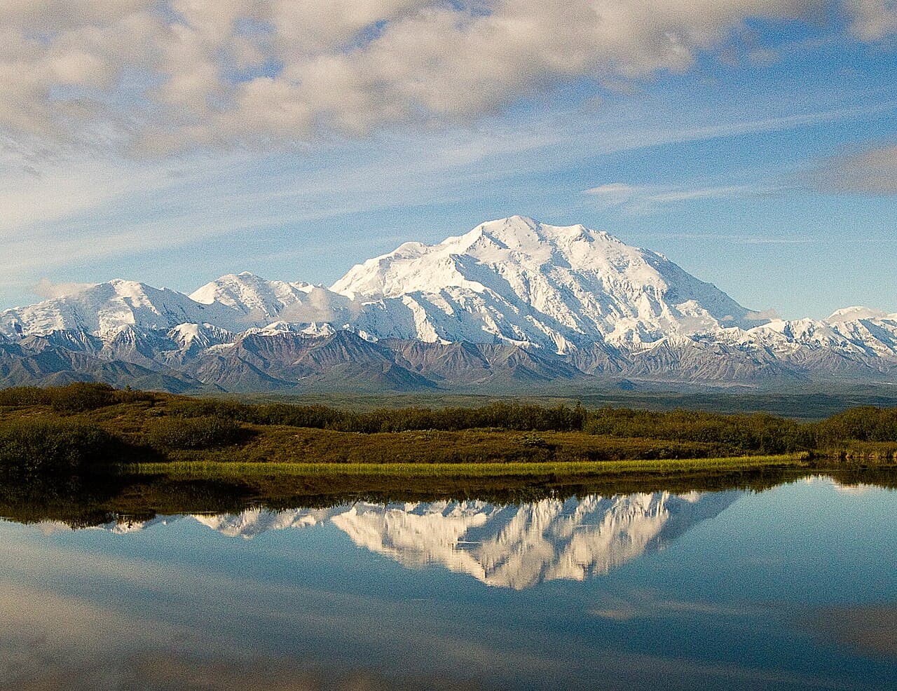 Denali National Park and Preserve · Public domain4/5Overall difficultyVery challenging
Alaska Range, Alaska
Denali ↗
West Buttress
- Distance
- Not available; see the route preview for measurement notes
- Ascent
- Not available; see the route preview for measurement notes
- Descent
- Not available; see the route preview for measurement notes
- Time
- Usually 17–21 days; see the route preview for measurement notes
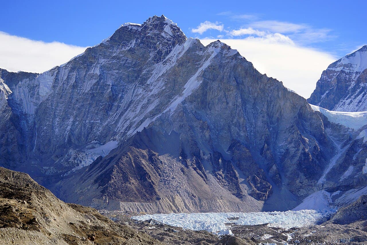 Peellden · CC BY-SA 3.03/5Overall difficultyChallenging
Khumbu, Nepal
Everest Base Camp (Nepal trek) ↗
Lukla–Everest Base Camp–Lukla visitor trek
- Distance
- ≈ 68.4 mi; see the route preview for measurement notes
- Ascent
- Not available; see the route preview for measurement notes
- Descent
- Not available; see the route preview for measurement notes
- Time
- Usually 14 days; see the route preview for measurement notes
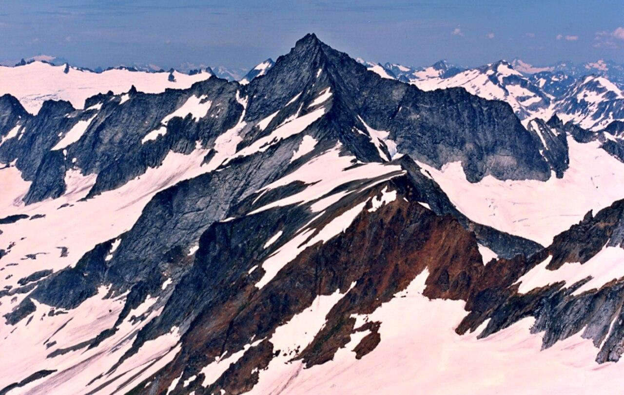 Ron Clausen · CC BY-SA 4.04/5Overall difficultyVery challenging
Cascade Range, Washington
Forbidden Peak ↗
West Ridge via snow couloir — Boston Basin return
- Distance
- ≈ 8 mi–12 mi; see the route preview for measurement notes
- Ascent
- ≈ 5,600 ft; see the route preview for measurement notes
- Descent
- ≈ 5,600 ft; see the route preview for measurement notes
- Time
- ≈ 17–22 hr on route; see the route preview for measurement notes
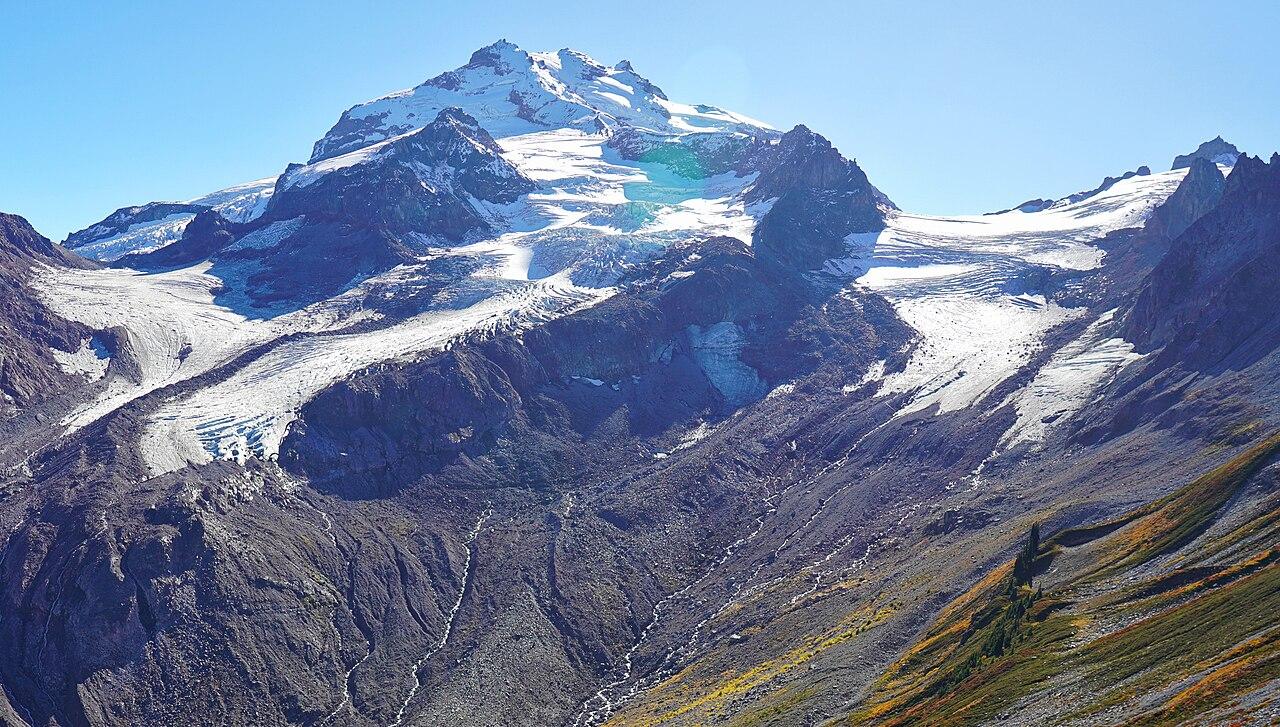 Martin Bravenboer · CC BY 2.03/5Overall difficultyChallenging
Cascade Range, Washington
Glacier Peak ↗
Gerdine / Cool Glaciers — North Fork Sauk return
- Distance
- ≈ 35 mi; see the route preview for measurement notes
- Ascent
- ≈ 10,000 ft–11,000 ft; see the route preview for measurement notes
- Descent
- ≈ 10,000 ft–11,000 ft; see the route preview for measurement notes
- Time
- Usually 3–6 days; see the route preview for measurement notes
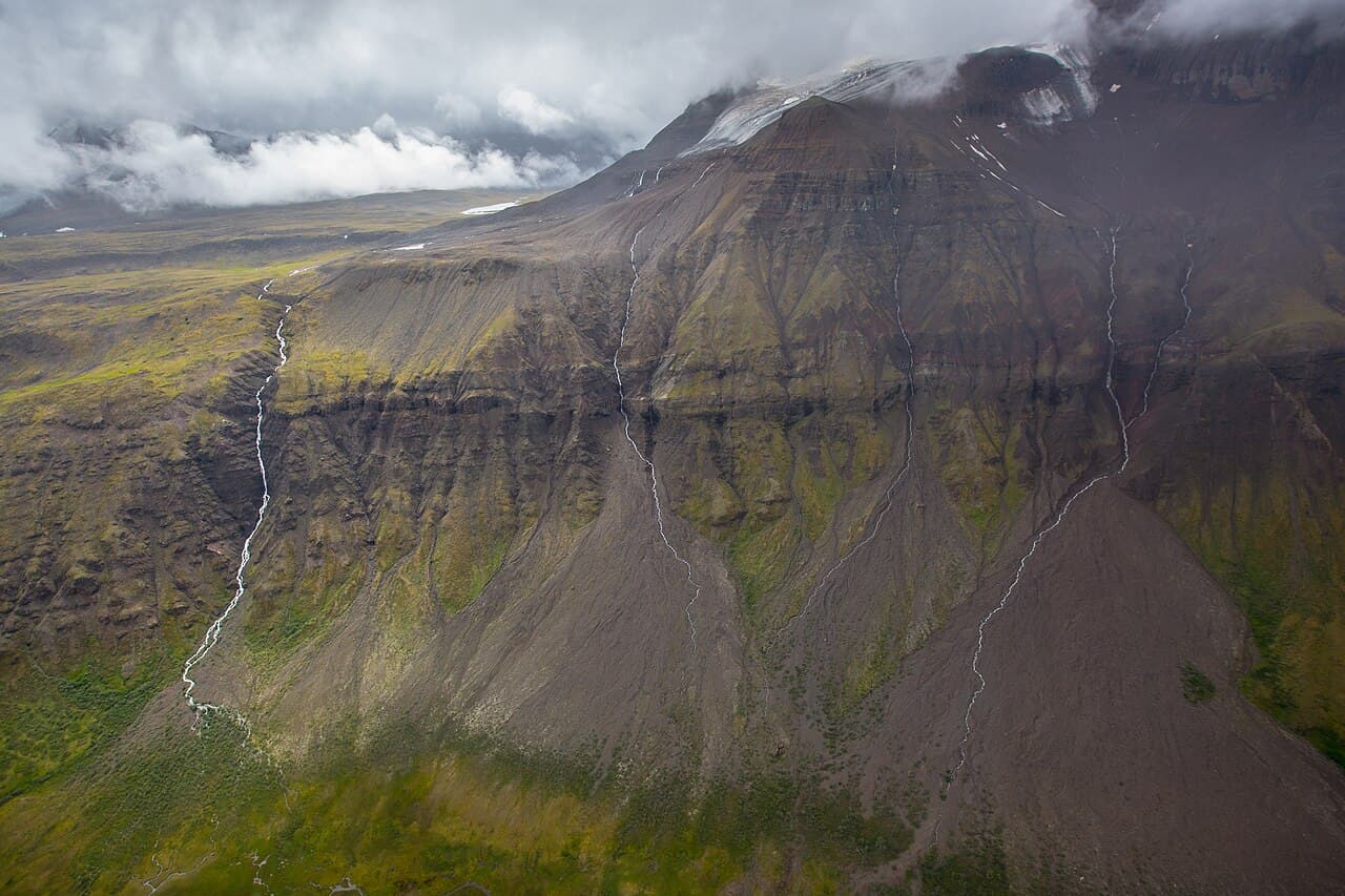 Neal Herbert / National Park Service · Public domain2/5Overall difficultyDemanding
Wrangell–St. Elias National Park, Alaska
Goat Trail — Skolai to Wolverine ↗
Skolai Pass to Wolverine via Chitistone Pass
- Distance
- Not available; see the route preview for measurement notes
- Ascent
- Not available; see the route preview for measurement notes
- Descent
- Not available; see the route preview for measurement notes
- Time
- Not available; see the route preview for measurement notes
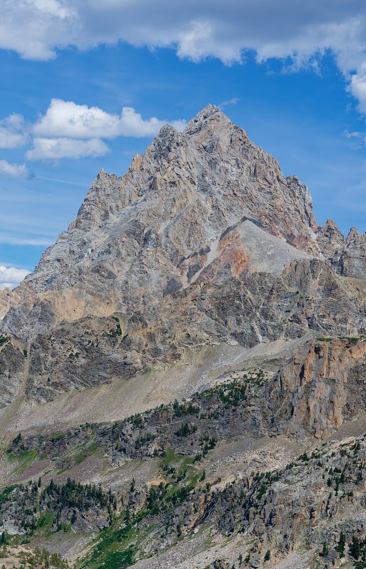 Joe Peacock · CC BY-SA 4.03/5Overall difficultyChallenging
Teton Range, Wyoming
Grand Teton ↗
Owen–Spalding from Lupine Meadows
- Distance
- ≈ 16 mi; see the route preview for measurement notes
- Ascent
- ≈ 7,100 ft; see the route preview for measurement notes
- Descent
- ≈ 7,100 ft; see the route preview for measurement notes
- Time
- Usually 2–3 days; see the route preview for measurement notes
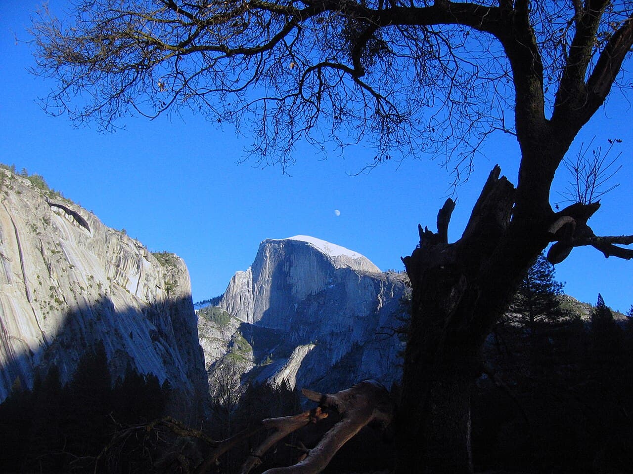 HjalmarGerbig · CC BY 3.02/5Overall difficultyDemanding
Yosemite, California
Half Dome ↗
Happy Isles to Half Dome — cables-up day hike
- Distance
- 14 mi–16 mi; see the route preview for measurement notes
- Ascent
- 4,800 ft; see the route preview for measurement notes
- Descent
- ≈ 4,800 ft; see the route preview for measurement notes
- Time
- 10–12 hr; see the route preview for measurement notes
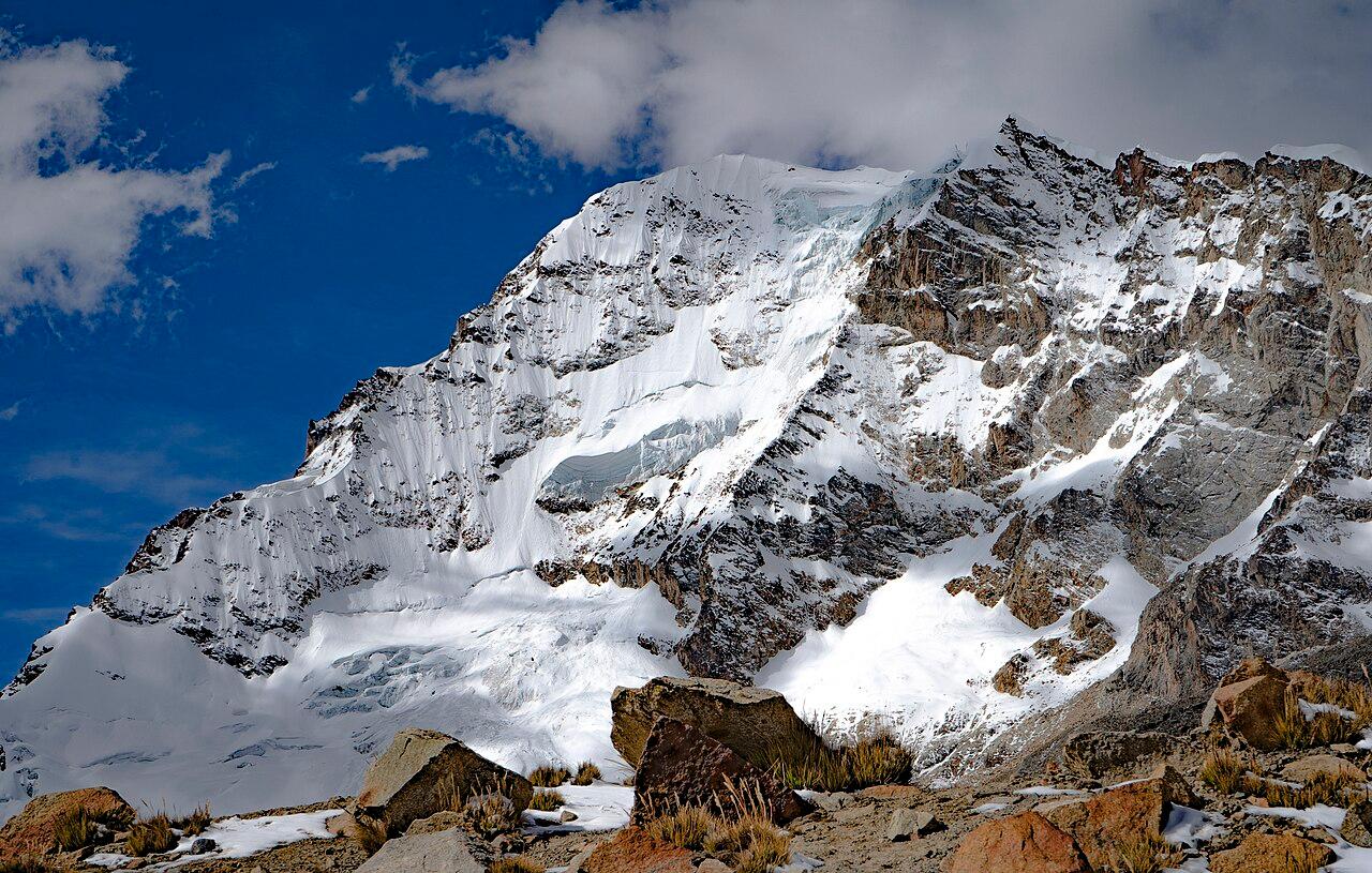 Soletocesar · CC BY-SA 4.03/5Overall difficultyChallenging
Cordillera Real, Bolivia
Huayna Potosí ↗
East normal route — Zongo base-area return
- Distance
- ≈ 6.2 mi–7.5 mi; see the route preview for measurement notes
- Ascent
- ≈ 4,265 ft–4,921 ft; see the route preview for measurement notes
- Descent
- ≈ 4,265 ft–4,921 ft; see the route preview for measurement notes
- Time
- Usually 2–3 days; see the route preview for measurement notes
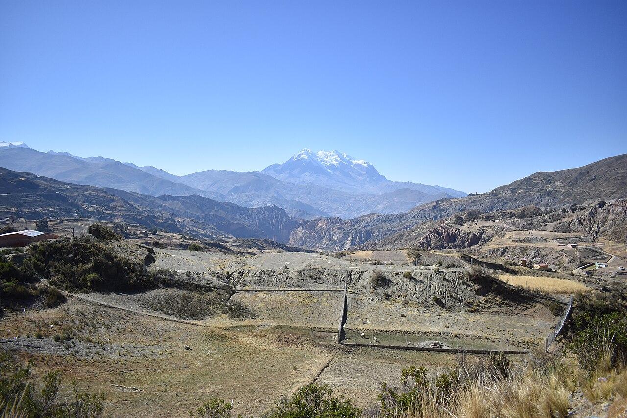 Kira Lani Díaz Fernández · CC BY-SA 4.04/5Overall difficultyVery challenging
Cordillera Real, Bolivia
Illimani ↗
Pico Sur normal route — Pinaya return
- Distance
- ≈ 13.7 mi–14.9 mi; see the route preview for measurement notes
- Ascent
- ≈ 8,530 ft–8,858 ft; see the route preview for measurement notes
- Descent
- ≈ 8,530 ft–8,858 ft; see the route preview for measurement notes
- Time
- Usually 3–4 days; see the route preview for measurement notes
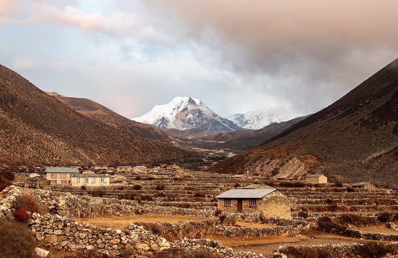 Rohit Sharma / Wikimedia Commons · CC BY-SA 4.03/5Overall difficultyChallenging
Khumbu, Solukhumbu, Nepal
Island Peak (Imja Tse) ↗
Chhukung · standard summit and return
- Distance
- ≈ 9.9 mi–11.2 mi; see the route preview for measurement notes
- Ascent
- Not available; see the route preview for measurement notes
- Descent
- Not available; see the route preview for measurement notes
- Time
- ≈ 2–3 days; see the route preview for measurement notes
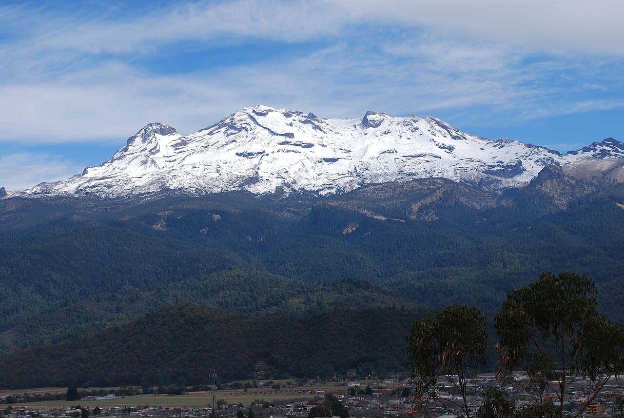 AlejandroLinaresGarcia · CC BY-SA 4.03/5Overall difficultyChallenging
Sierra Nevada, central Mexico
Iztaccíhuatl ↗
La Joya · Los Portillos and El Pecho return
- Distance
- ≈ 7.5 mi; see the route preview for measurement notes
- Ascent
- ≈ 4,593 ft; see the route preview for measurement notes
- Descent
- ≈ 4,593 ft; see the route preview for measurement notes
- Time
- Usually 1 day; see the route preview for measurement notes
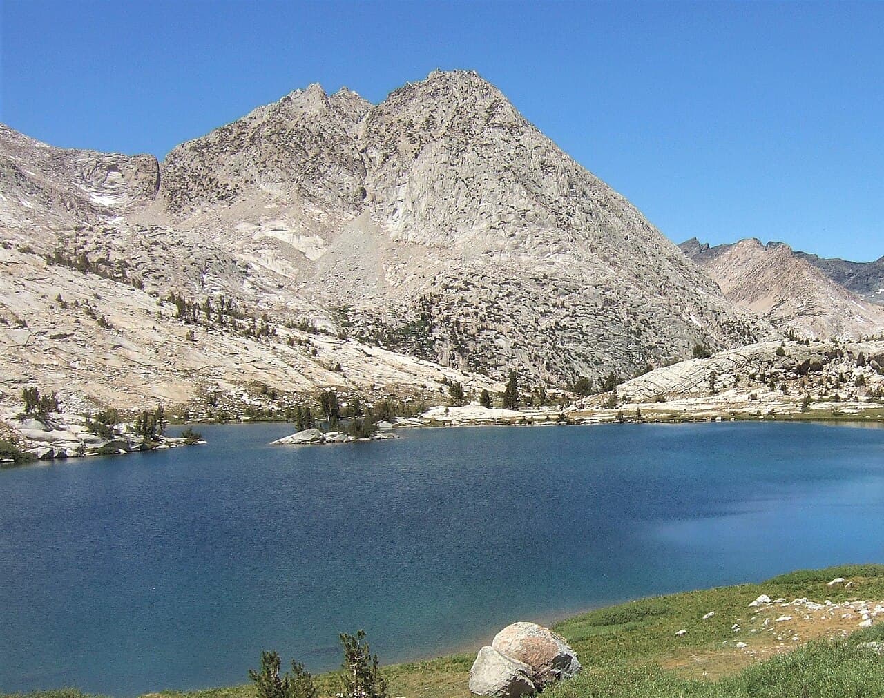 wetwebwork · CC BY-SA 2.03/5Overall difficultyChallenging
Sierra Nevada, California
John Muir Trail ↗
JMT southbound — Happy Isles, Whitney summit and Portal exit
- Distance
- ≈ 222 mi; see the route preview for measurement notes
- Ascent
- Not available; see the route preview for measurement notes
- Descent
- Not available; see the route preview for measurement notes
- Time
- Usually 18–22 days; see the route preview for measurement notes
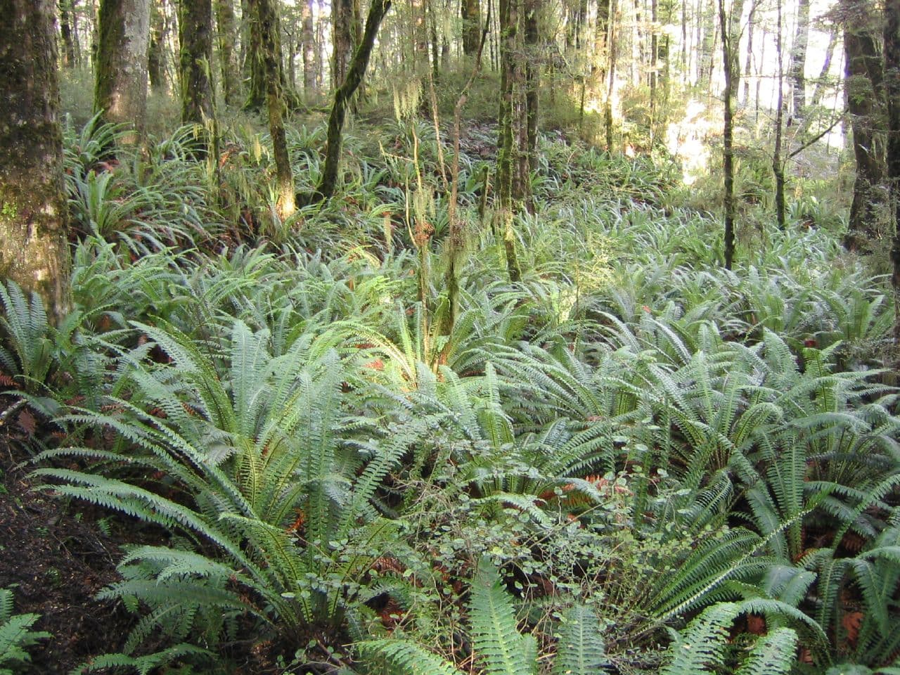 Phil Whitehouse from London, United Kingdom · CC BY 2.02/5Overall difficultyDemanding
Fiordland, South Island, New Zealand
Kepler Track ↗
Full Kepler circuit · Luxmore, Iris Burn and Moturau
- Distance
- ≈ 37.3 mi; see the route preview for measurement notes
- Ascent
- ≈ 7,218 ft; see the route preview for measurement notes
- Descent
- ≈ 7,218 ft; see the route preview for measurement notes
- Time
- 4 days
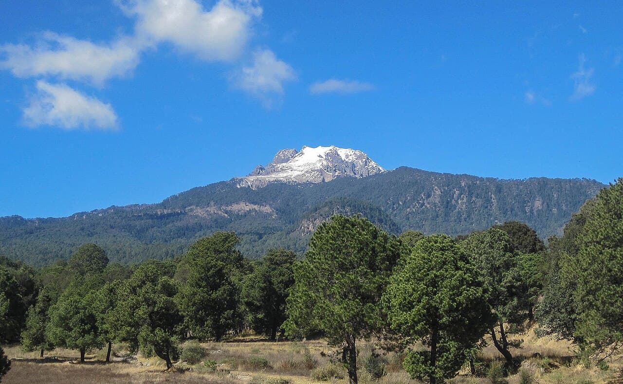 Luis Beltran · CC BY-SA 4.02/5Overall difficultyDemanding
Puebla / Tlaxcala, central Mexico
La Malinche ↗
IMSS Malintzi · Los Arenales summit and return
- Distance
- ≈ 8.7 mi–9.9 mi; see the route preview for measurement notes
- Ascent
- Not available; see the route preview for measurement notes
- Descent
- Not available; see the route preview for measurement notes
- Time
- Usually 1 day; see the route preview for measurement notes
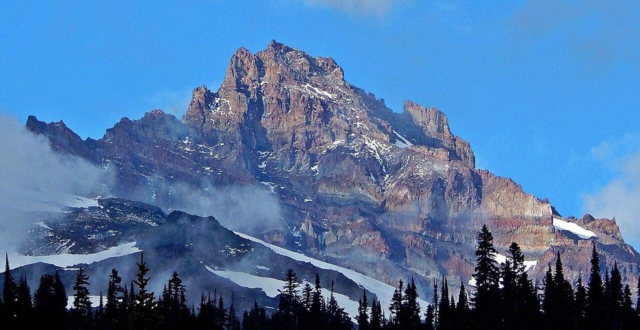 Ron Clausen · CC BY-SA 4.03/5Overall difficultyChallenging
Cascade Range, Washington
Little Tahoma ↗
Fryingpan / Whitman Glaciers — Fryingpan Creek return
- Distance
- ≈ 15 mi; see the route preview for measurement notes
- Ascent
- ≈ 7,200 ft–7,300 ft; see the route preview for measurement notes
- Descent
- ≈ 7,200 ft–7,300 ft; see the route preview for measurement notes
- Time
- ≈ 17–21 hr on route; see the route preview for measurement notes
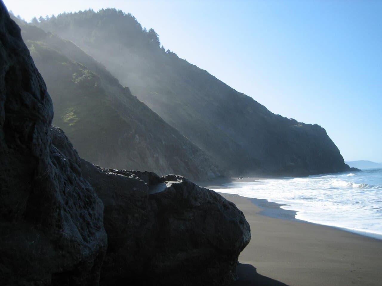 Wendy Seltzer · CC BY 2.02/5Overall difficultyDemanding
King Range coast, Northern California
Lost Coast Trail (northern section) ↗
Northern Lost Coast — Mattole to Black Sands Beach
- Distance
- 24.6 mi; see the route preview for measurement notes
- Ascent
- Not available; see the route preview for measurement notes
- Descent
- Not available; see the route preview for measurement notes
- Time
- Usually 3–4 days; see the route preview for measurement notes
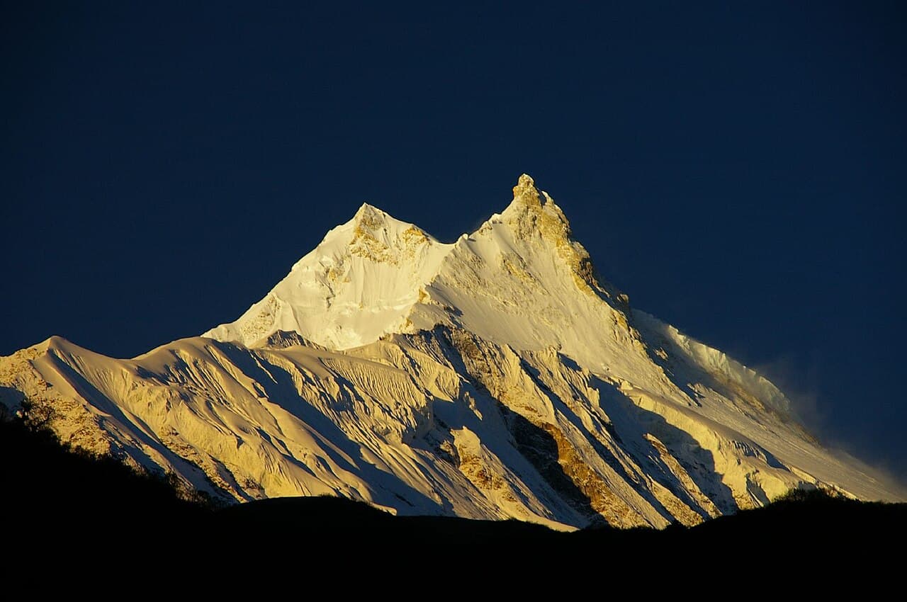 Ben Tubby · CC BY 2.05/5Overall difficultyExtreme
Mansiri Himal, Nepal
Manaslu ↗
Northeast Ridge summit and return
- Distance
- Not available; see the route preview for measurement notes
- Ascent
- Not available; see the route preview for measurement notes
- Descent
- Not available; see the route preview for measurement notes
- Time
- Not available; see the route preview for measurement notes
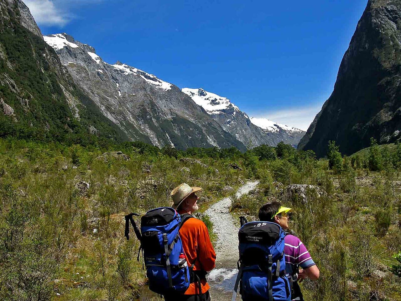 Ray Hayward · CC BY-SA 3.02/5Overall difficultyDemanding
Fiordland, South Island, New Zealand
Milford Track ↗
Milford Track · DOC huts, Glade Wharf to Sandfly Point
- Distance
- 33.2 mi; see the route preview for measurement notes
- Ascent
- Not available; see the route preview for measurement notes
- Descent
- Not available; see the route preview for measurement notes
- Time
- 4 days
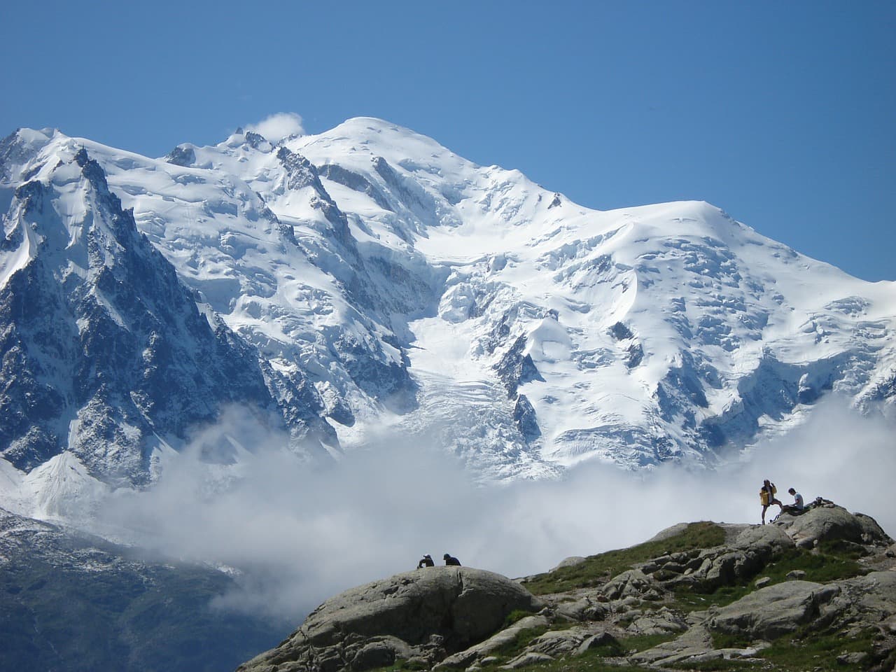 Hseugut · CC BY-SA 4.03/5Overall difficultyChallenging
Mont Blanc massif, French normal-route corridor
Mont Blanc ↗
Goûter route from Nid d’Aigle — summit and return
- Distance
- Not available; see the route preview for measurement notes
- Ascent
- Not available; see the route preview for measurement notes
- Descent
- Not available; see the route preview for measurement notes
- Time
- Usually 2–3 days; see the route preview for measurement notes
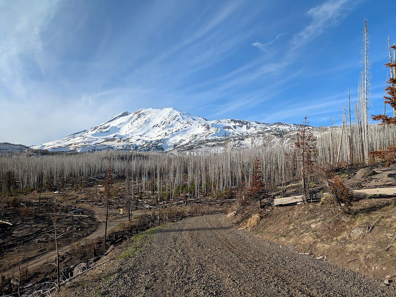 Buidhe · CC BY-SA 4.02/5Overall difficultyDemanding
Southern Cascade Range, Washington
Mount Adams ↗
South Climb — Cold Springs summit and return
- Distance
- ≈ 14 mi; see the route preview for measurement notes
- Ascent
- 6,600 ft; see the route preview for measurement notes
- Descent
- ≈ 6,600 ft; see the route preview for measurement notes
- Time
- Usually 2 days; see the route preview for measurement notes
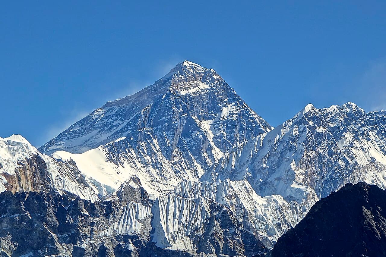 Rdevany · CC BY-SA 3.05/5Overall difficultyExtreme
Himalaya, Nepal–China border
Mount Everest ↗
South Col
- Distance
- Not available; see the route preview for measurement notes
- Ascent
- Not available; see the route preview for measurement notes
- Descent
- Not available; see the route preview for measurement notes
- Time
- Not available; see the route preview for measurement notes
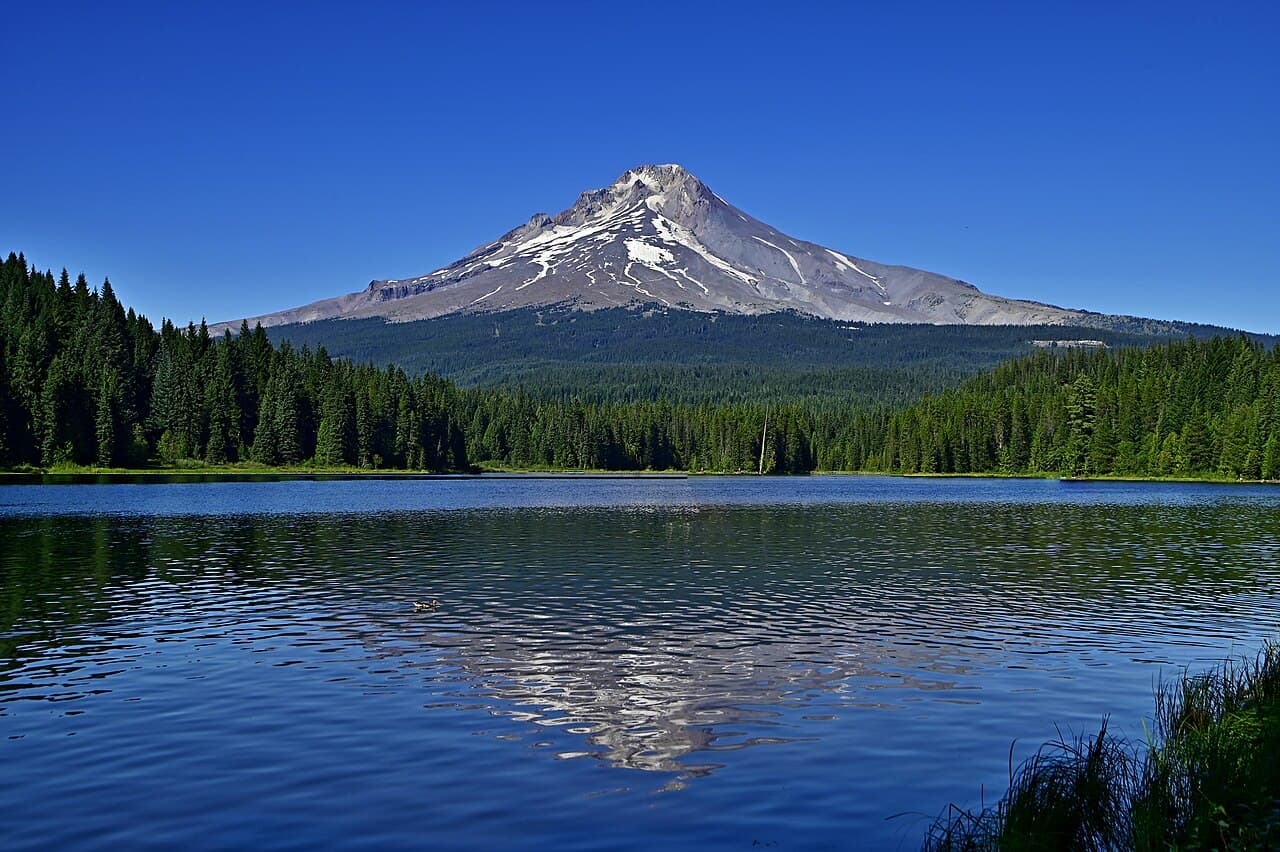 Kevin Crosby · CC BY-SA 2.03/5Overall difficultyChallenging
Northern Oregon Cascades
Mount Hood ↗
Old Chute — on foot from Timberline and return
- Distance
- ≈ 8 mi; see the route preview for measurement notes
- Ascent
- ≈ 5,235 ft; see the route preview for measurement notes
- Descent
- ≈ 5,235 ft; see the route preview for measurement notes
- Time
- Usually 1 day; see the route preview for measurement notes
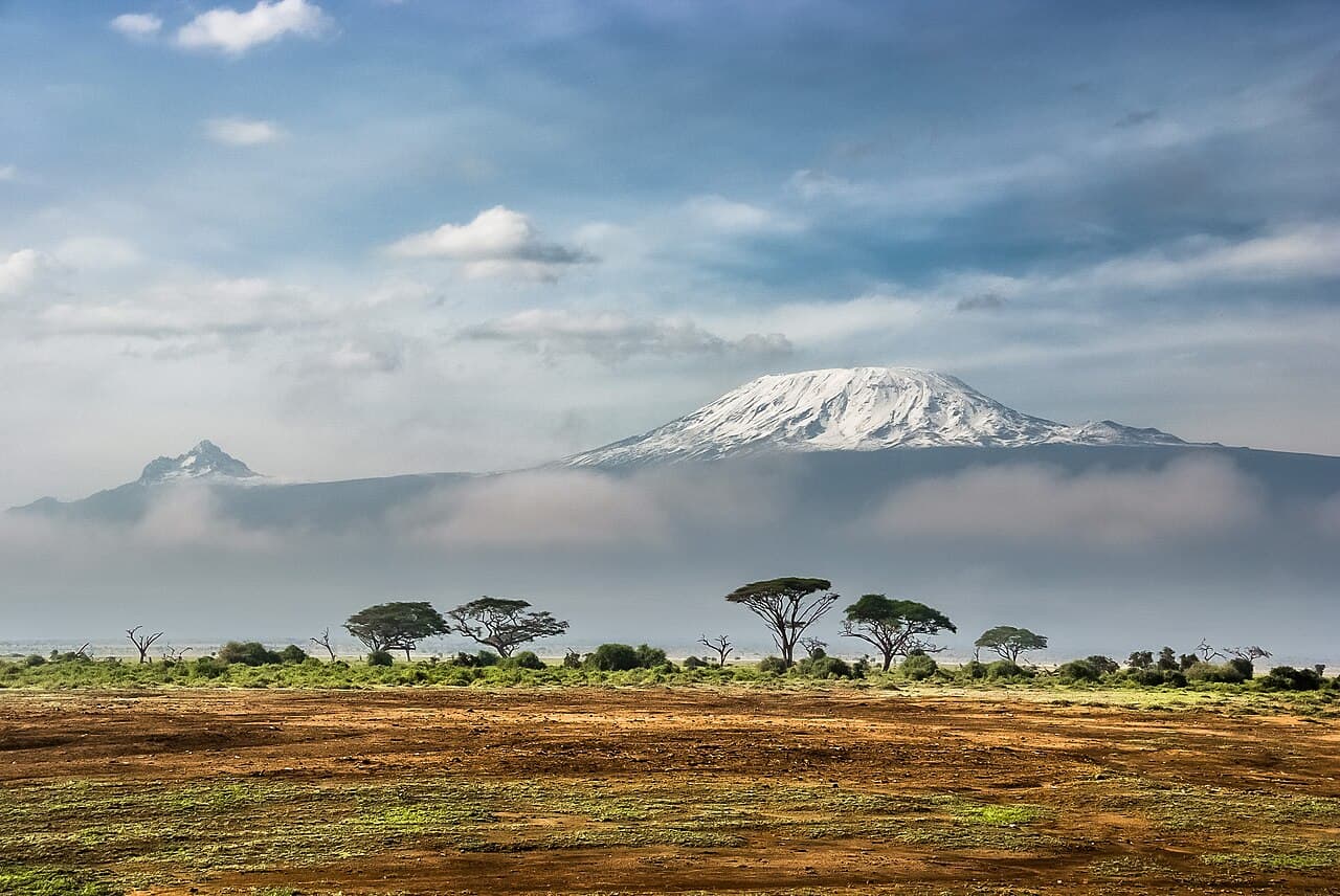 Sergey Pesterev · CC BY-SA 4.03/5Overall difficultyChallenging
Kilimanjaro Region, Tanzania
Mount Kilimanjaro ↗
Machame ascent / Mweka descent
- Distance
- ≈ 41 mi; see the route preview for measurement notes
- Ascent
- Not available; see the route preview for measurement notes
- Descent
- Not available; see the route preview for measurement notes
- Time
- Usually 7 days; see the route preview for measurement notes
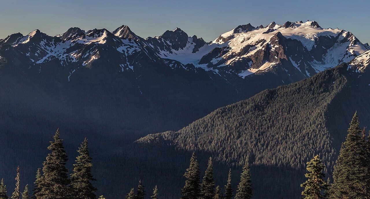 AlphaOrionis42 · CC BY-SA 4.03/5Overall difficultyChallenging
Olympic Mountains, Washington
Mount Olympus (Washington) ↗
Blue Glacier / West Peak — Hoh trailhead return
- Distance
- ≈ 44 mi; see the route preview for measurement notes
- Ascent
- ≈ 7,400 ft; see the route preview for measurement notes
- Descent
- ≈ 7,400 ft; see the route preview for measurement notes
- Time
- Usually 3–4 days; see the route preview for measurement notes
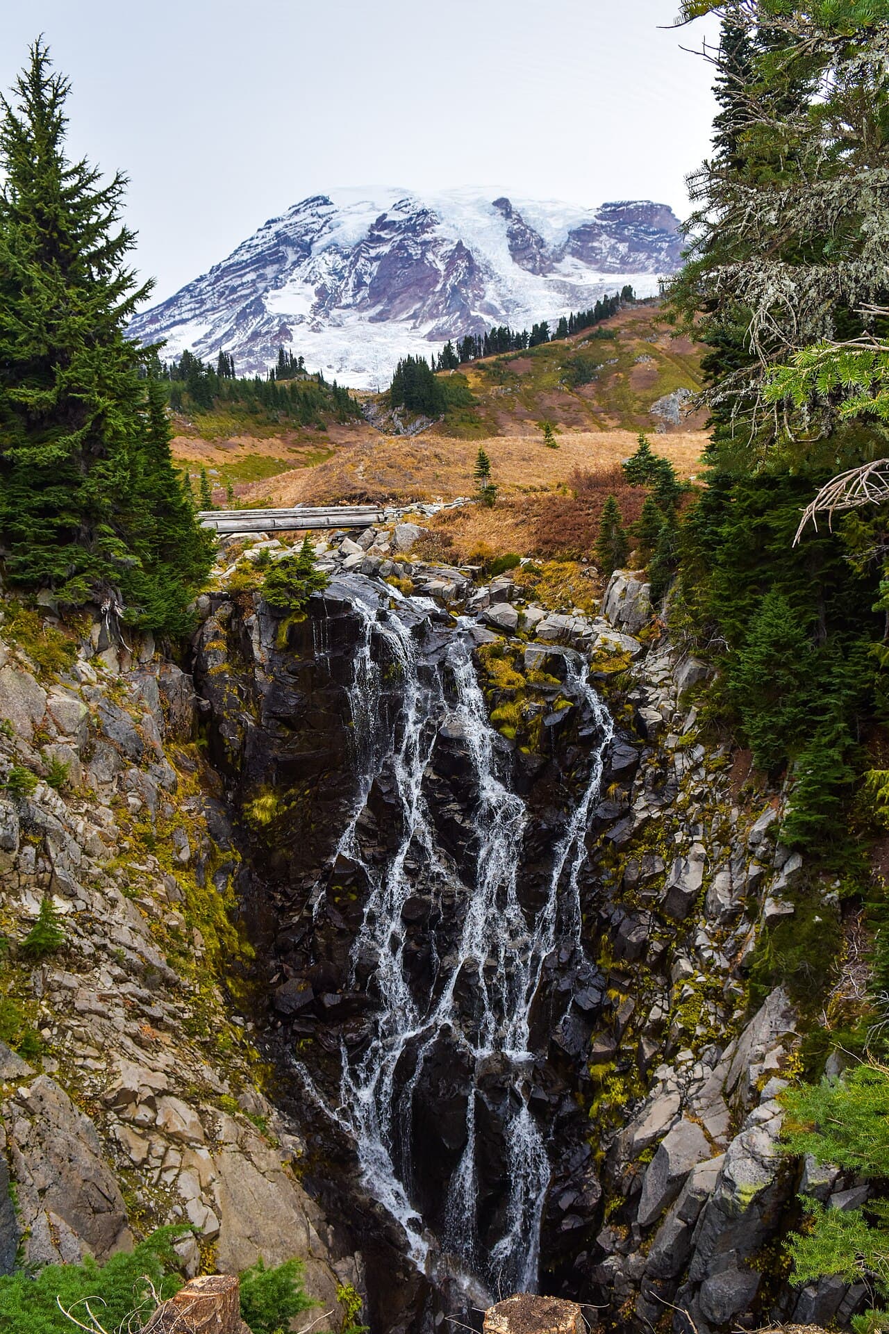 NPS Photo · Public domain3/5Overall difficultyChallenging
Cascade Range, Washington
Mount Rainier ↗
Objective-wide scope
- Distance
- —
- Ascent
- —
- Descent
- —
- Time
- —
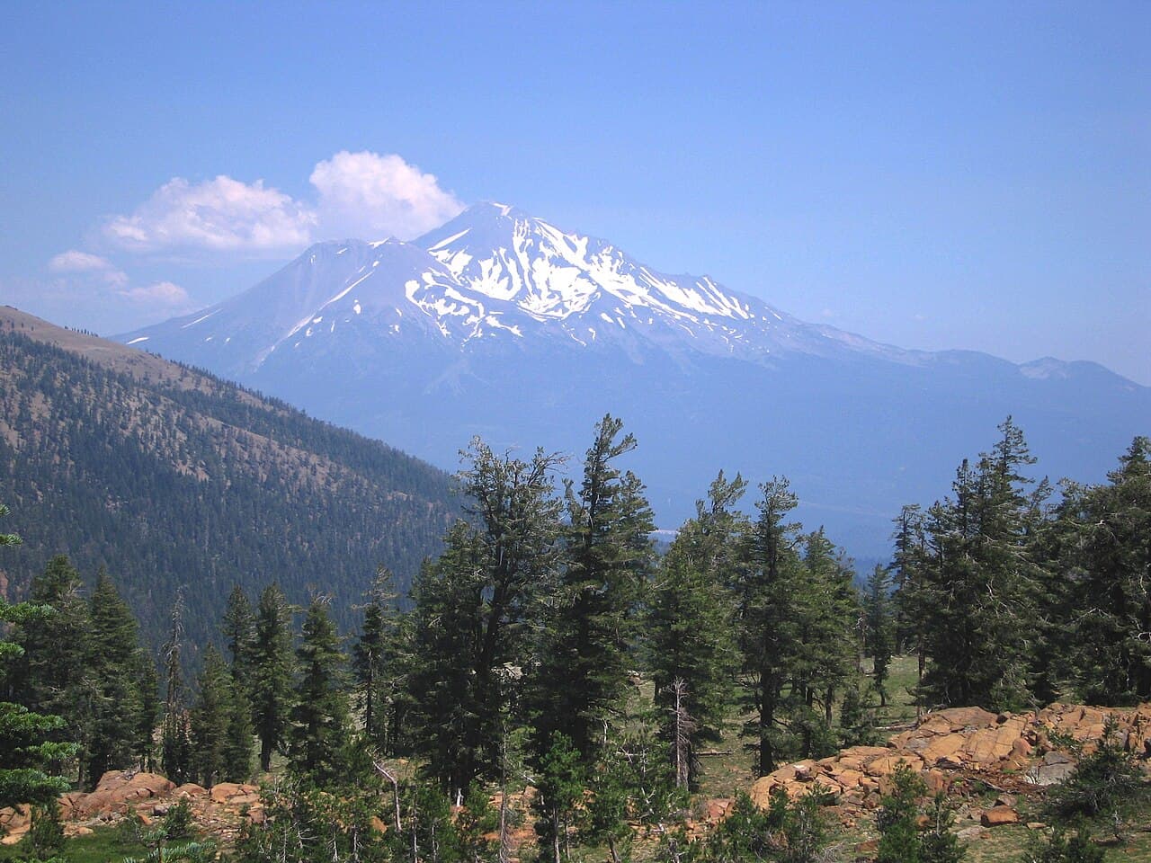 Ericshawwhite · CC BY-SA 3.02/5Overall difficultyDemanding
Cascade Range, California
Mount Shasta ↗
Avalanche Gulch
- Distance
- ≈ 10 mi–12 mi; see the route preview for measurement notes
- Ascent
- ≈ 7,000 ft; see the route preview for measurement notes
- Descent
- ≈ 7,000 ft; see the route preview for measurement notes
- Time
- Usually 2 days; see the route preview for measurement notes
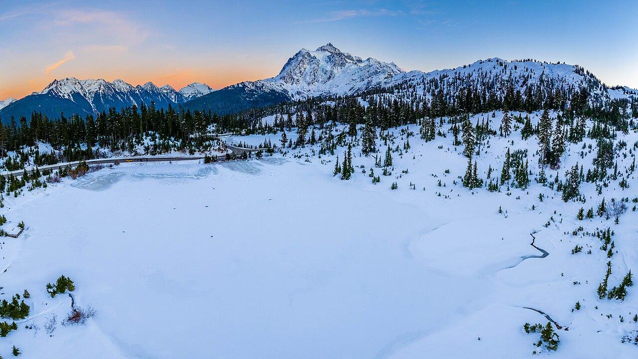 BiggusDiccus · CC BY-SA 4.03/5Overall difficultyChallenging
Cascade Range, Washington
Mount Shuksan ↗
Fisher Chimneys — Lake Ann return
- Distance
- ≈ 14 mi–15 mi; see the route preview for measurement notes
- Ascent
- ≈ 6,500 ft–7,000 ft; see the route preview for measurement notes
- Descent
- ≈ 6,500 ft–7,000 ft; see the route preview for measurement notes
- Time
- Usually 3 days; see the route preview for measurement notes
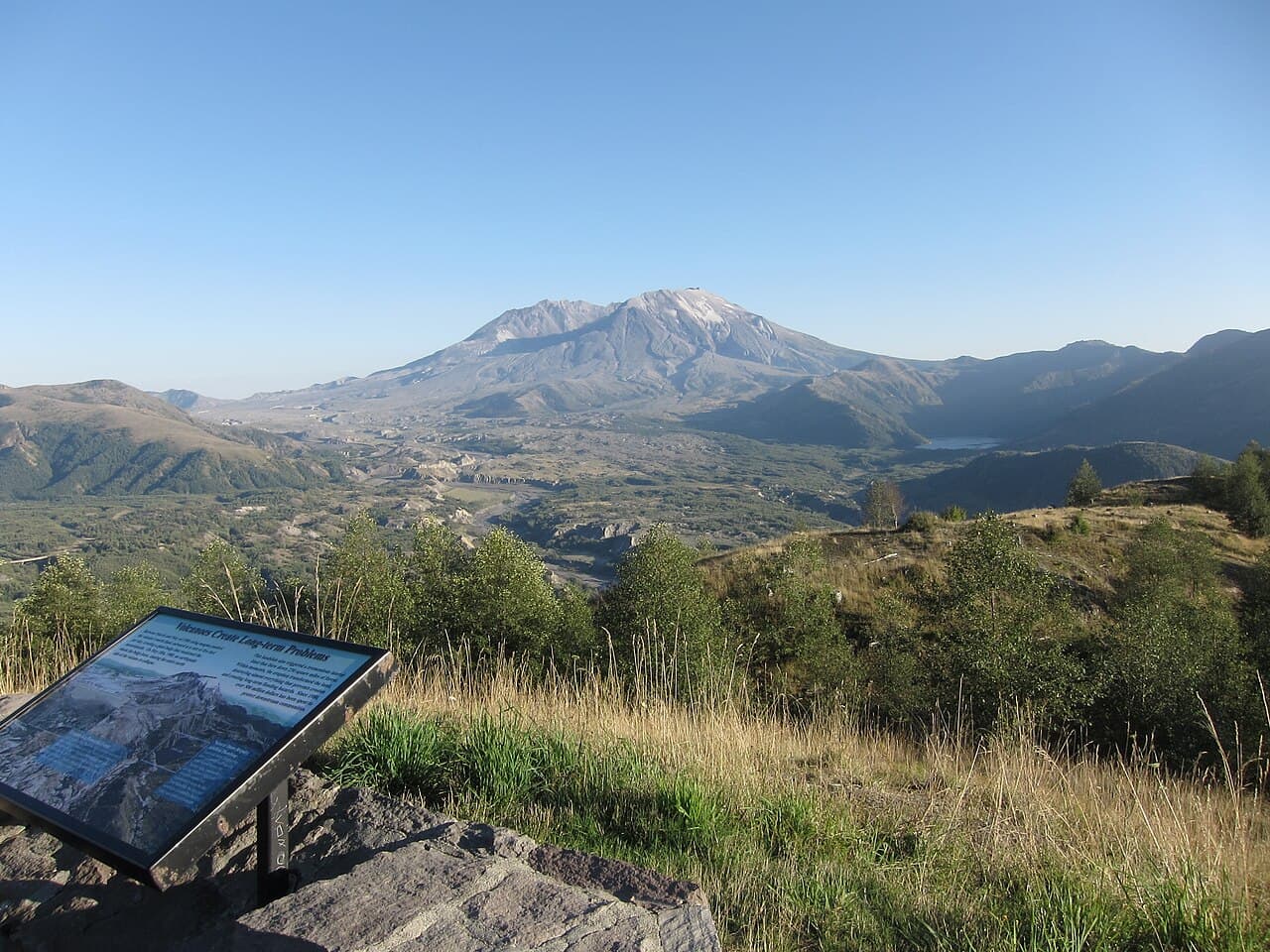 GoToVan · CC BY 2.01/5Overall difficultyModerate
Cascade Range, Washington
Mount St. Helens ↗
Worm Flows
- Distance
- ≈ 12 mi; see the route preview for measurement notes
- Ascent
- 5,700 ft; see the route preview for measurement notes
- Descent
- Not available; see the route preview for measurement notes
- Time
- 7–10 hr; see the route preview for measurement notes
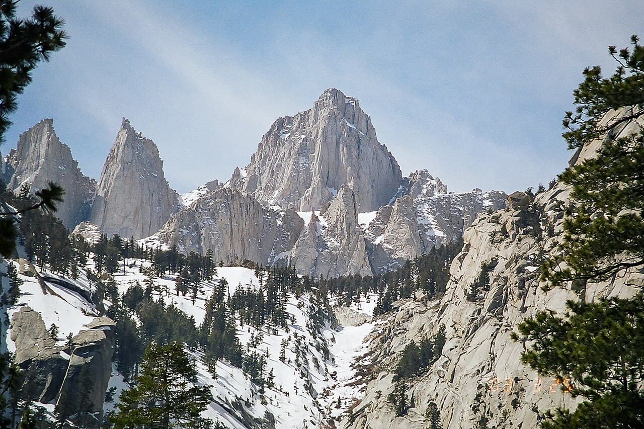 Geographer (talk · contribs) · CC BY 1.02/5Overall difficultyDemanding
Sierra Nevada, California
Mount Whitney ↗
Mount Whitney Trail — day hike from Whitney Portal
- Distance
- ≈ 22 mi; see the route preview for measurement notes
- Ascent
- > 6,200 ft; see the route preview for measurement notes
- Descent
- > 6,200 ft; see the route preview for measurement notes
- Time
- 12–14 hr; see the route preview for measurement notes
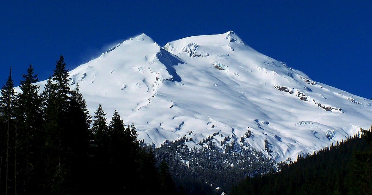 Lhb1239 · CC BY-SA 3.02/5Overall difficultyDemanding
North Cascades, Washington
Mt. Baker ↗
Objective-wide scope
- Distance
- —
- Ascent
- —
- Descent
- —
- Time
- —
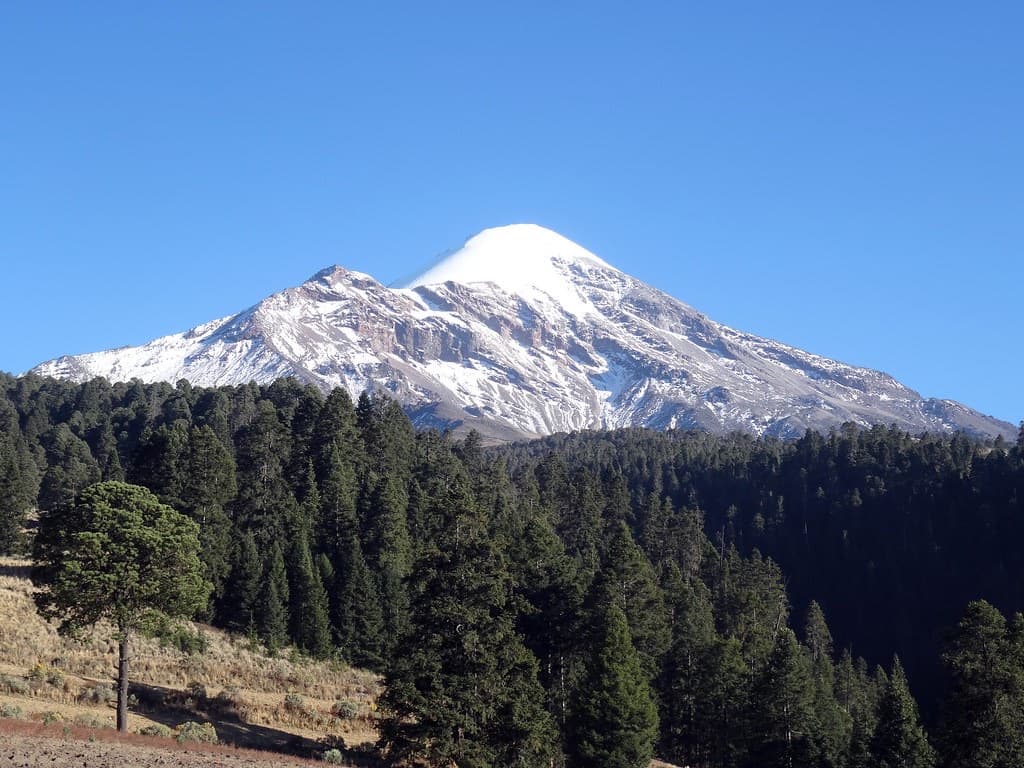 México en Fotos · CC BY-SA 2.03/5Overall difficultyChallenging
Puebla–Veracruz border, Mexico
Pico de Orizaba ↗
Jamapa Glacier — Piedra Grande summit and return
- Distance
- Not available; see the route preview for measurement notes
- Ascent
- ≈ 4,495 ft; see the route preview for measurement notes
- Descent
- ≈ 4,495 ft; see the route preview for measurement notes
- Time
- Usually 1 day; see the route preview for measurement notes
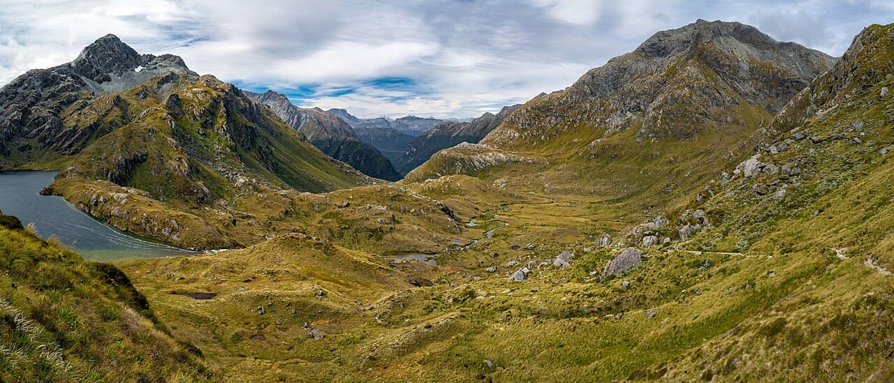 Ilya Grigorik · CC BY-SA 3.02/5Overall difficultyDemanding
Mount Aspiring / Fiordland, South Island, New Zealand
Routeburn Track ↗
Routeburn Shelter to The Divide · DOC huts
- Distance
- 20.6 mi; see the route preview for measurement notes
- Ascent
- Not available; see the route preview for measurement notes
- Descent
- Not available; see the route preview for measurement notes
- Time
- Usually 3 days; see the route preview for measurement notes
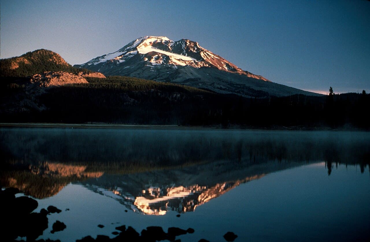 USGS/Cascades Volcano Observatory · Public domain2/5Overall difficultyDemanding
Three Sisters, Central Oregon Cascades
South Sister ↗
South Sister — Devils Lake summit and return
- Distance
- ≈ 13 mi; see the route preview for measurement notes
- Ascent
- ≈ 4,900 ft; see the route preview for measurement notes
- Descent
- ≈ 4,900 ft; see the route preview for measurement notes
- Time
- Usually 1 day; see the route preview for measurement notes
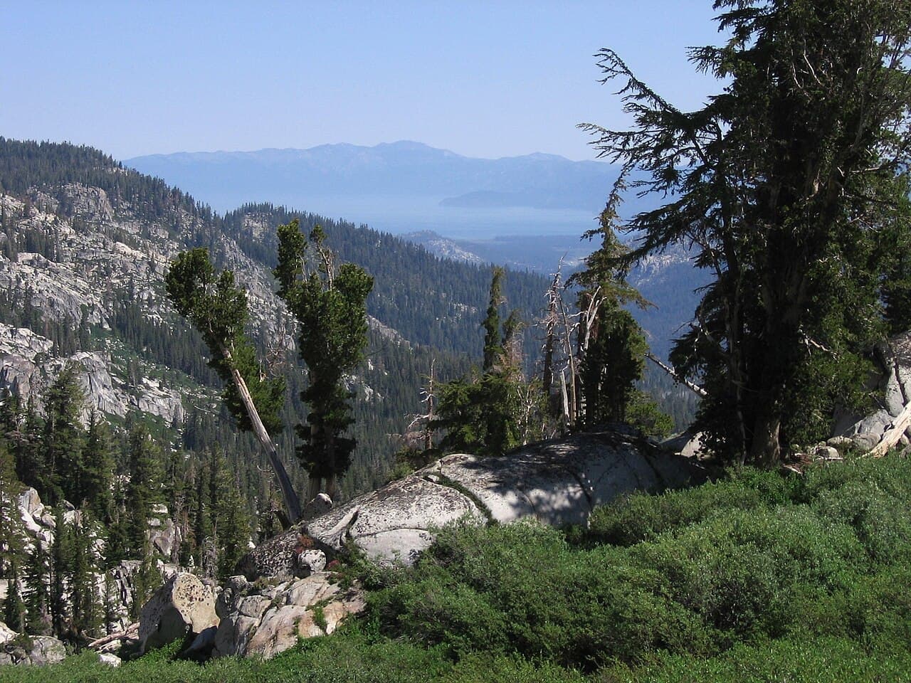 AT2663~commonswiki (attributed on Wikimedia Commons) · CC BY-SA 3.02/5Overall difficultyDemanding
Lake Tahoe Basin, California and Nevada, United States
Tahoe Rim Trail ↗
Full loop from Tahoe City (hiking)
- Distance
- ≈ 165 mi; see the route preview for measurement notes
- Ascent
- ≈ 24,400 ft; see the route preview for measurement notes
- Descent
- ≈ 24,400 ft; see the route preview for measurement notes
- Time
- Usually 10–15 days; see the route preview for measurement notes
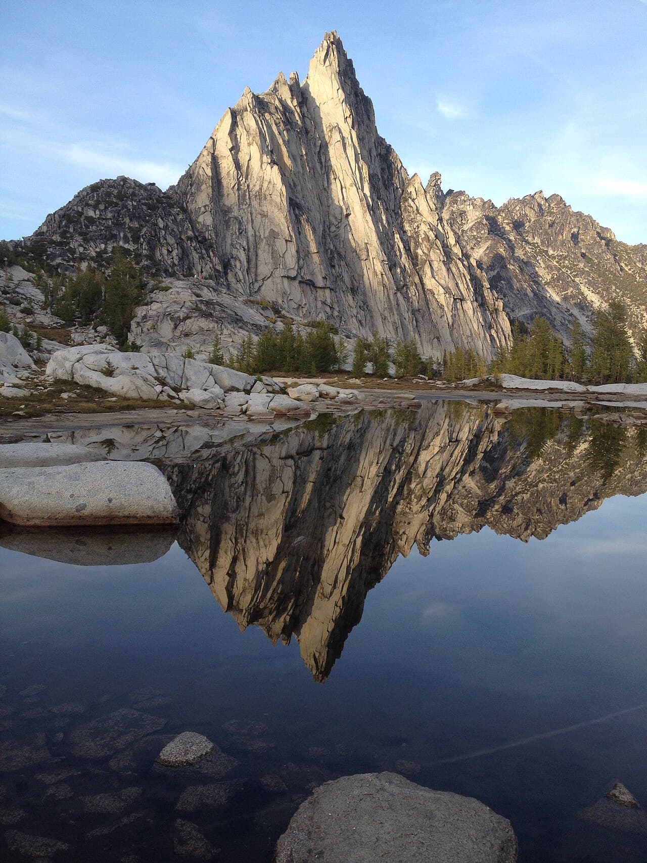 Niko Kirov · CC BY-SA 4.02/5Overall difficultyDemanding
Alpine Lakes Wilderness, Washington Cascades
The Enchantments (Washington trek) ↗
Enchantments day traverse — Stuart Lake to Snow Lakes trailhead
- Distance
- ≈ 18 mi; see the route preview for measurement notes
- Ascent
- ≈ 4,500 ft; see the route preview for measurement notes
- Descent
- Not available; see the route preview for measurement notes
- Time
- 1 day; see the route preview for measurement notes
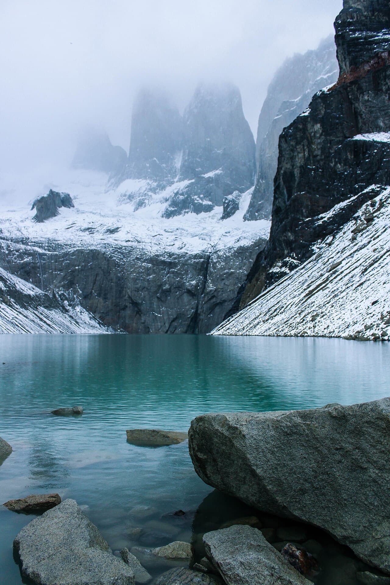 Alexis Alvarez · CC BY-SA 4.02/5Overall difficultyDemanding
Patagonia, Chile
Torres del Paine W Trek ↗
W west to east · Grey, Francés and Central
- Distance
- Not available; see the route preview for measurement notes
- Ascent
- Not available; see the route preview for measurement notes
- Descent
- Not available; see the route preview for measurement notes
- Time
- Usually 5 days; see the route preview for measurement notes
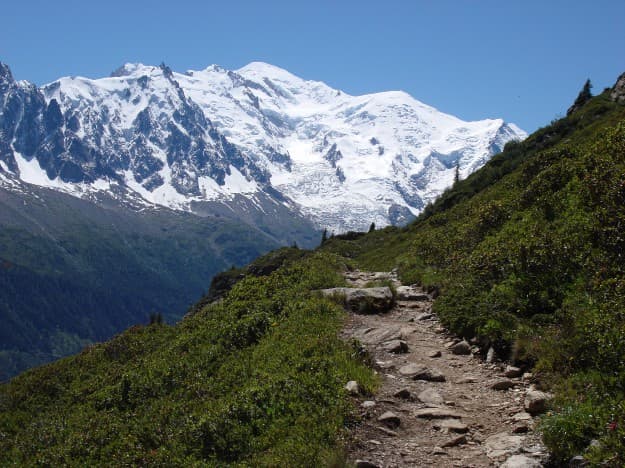 Ldh98 · CC BY-SA 3.02/5Overall difficultyDemanding
Mont Blanc massif, France / Italy / Switzerland
Tour du Mont Blanc ↗
Full walking circuit from Trient
- Distance
- 101.7 mi; see the route preview for measurement notes
- Ascent
- 34,416 ft; see the route preview for measurement notes
- Descent
- 34,416 ft; see the route preview for measurement notes
- Time
- 10–13 days
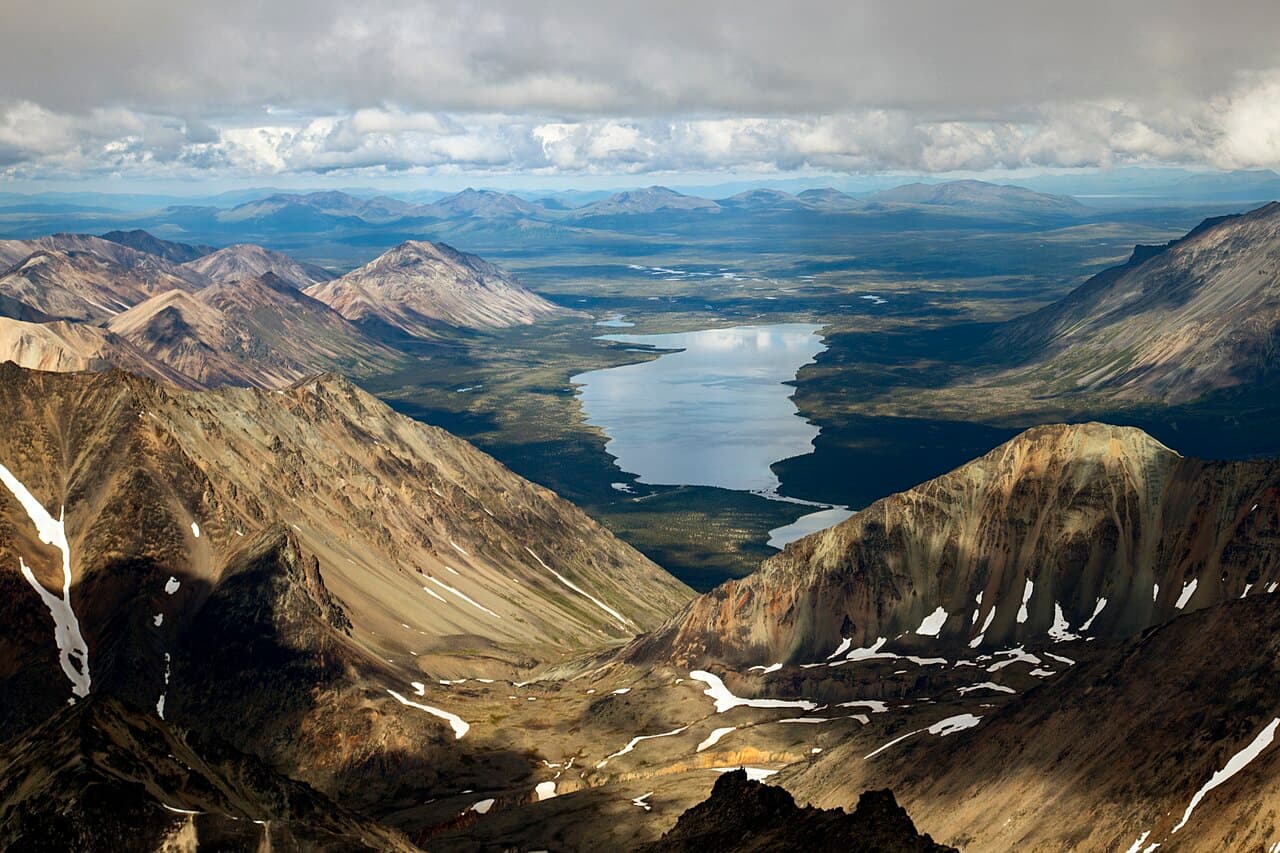 T. Vaughn / National Park Service · Public domain2/5Overall difficultyDemanding
Lake Clark National Park, Alaska
Turquoise Lake to Twin Lakes ↗
Turquoise Lake to Twin Lakes traverse
- Distance
- ≈ 23 mi; see the route preview for measurement notes
- Ascent
- Not available; see the route preview for measurement notes
- Descent
- Not available; see the route preview for measurement notes
- Time
- Usually 5 days; see the route preview for measurement notes
02 / The work along the way
Find your training ground
Long miles, steady climbs, time on your feet. Explore a small curated sample of reviewed training hikes by area, and find a place to build your next week around.
Where do you train?
Browse a few featured areas.
Members can explore more of the training catalog in TrekReady.
Featured training routes for general preparation. A hike does not establish readiness for a particular mountain; technical skills, acclimatization, and conditions need their own preparation.
Portland / Vancouver
Training area · Oregon and Washington
This showcase is not TrekReady's full catalog, a trail database, or a live conditions feed. Check current official access and conditions before you go.
Give your training a direction.
Bring your objective, training, and preparation together in TrekReady.